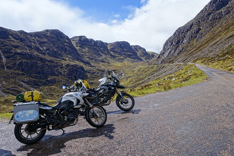
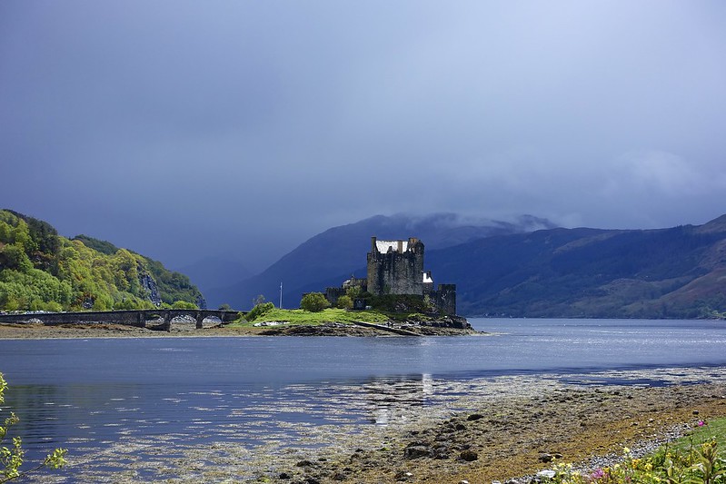
Our luck has not changed and it is still raining, but luckily on and off! The route took us past Lochs Cluanie and Duich and past the picturesque Eilean Donan Castle.
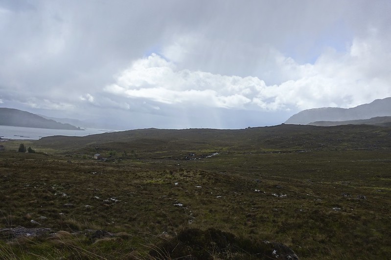
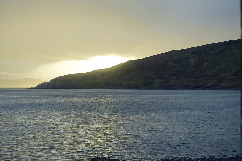
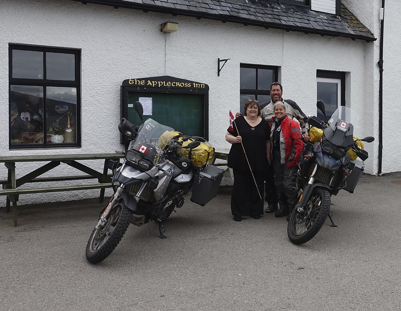
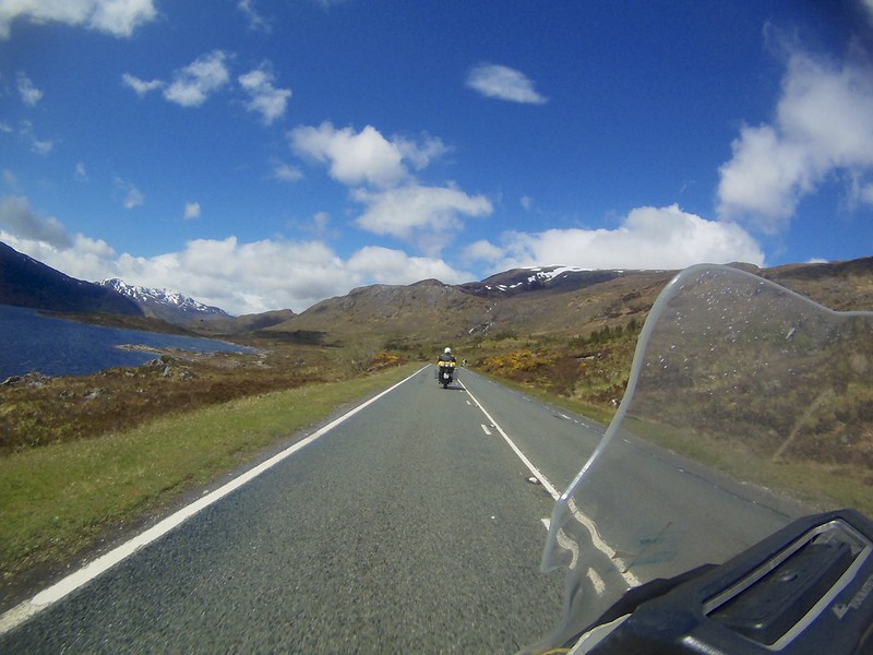
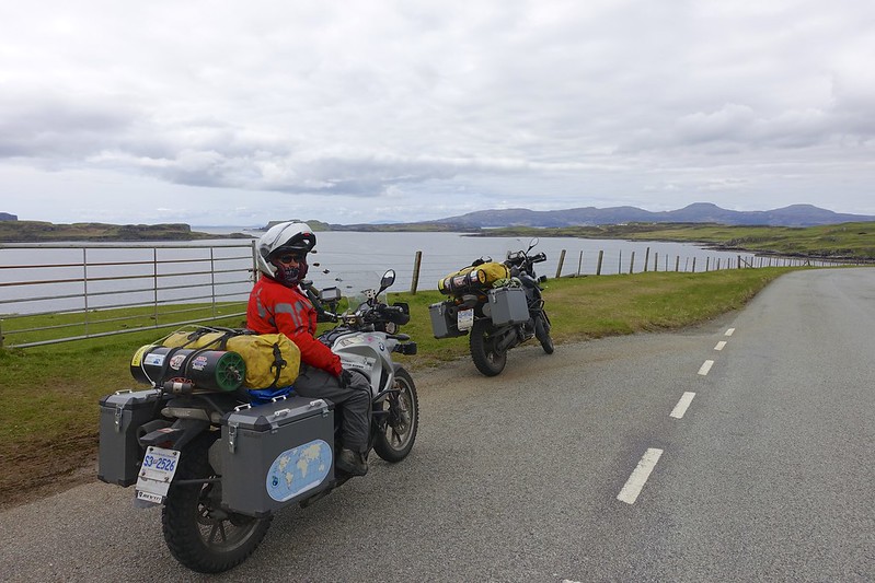
We rode north and west towards the Isle of Sky, but took a detour to the tiny town of Applecross.

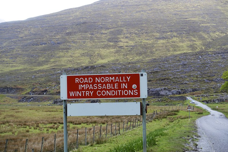
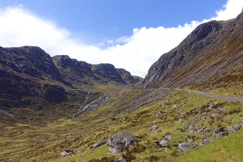
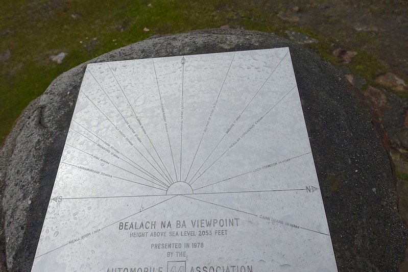
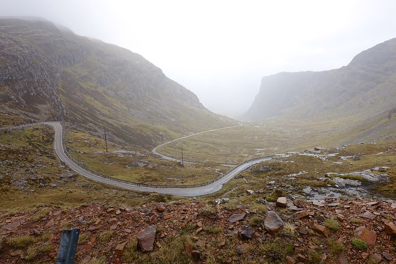
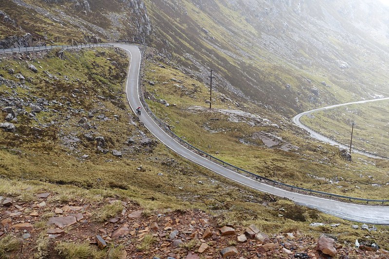
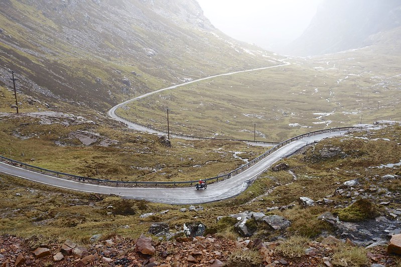
The name is an Anglicization of the Pictish name Aporcrosan (confluence of the river). This is a special place in Christianity. It was settled by St. Maelrubai who came to Scotland in 671 from the Irish Monastery of Bangor and became the monastery here’s first abbot. There is a small row of white houses here that is often referred to as “Applecross”, but this is actually “shore street” or just “The Street”. The name Applecross actually refers to all the settlements around the peninsula (Toscaig, Culduie, Camusterrach, Milltown, Sand, The Street, and Lonbain. This isolated area was only accessible by boat until the early 20 th century. For many years after this the only road access was over one of Scotland’s most treacherous roads, the Bealach na Ba (pass of the cattle), which crosses the peninsula and rises to a height of 626 m (2053 ft).
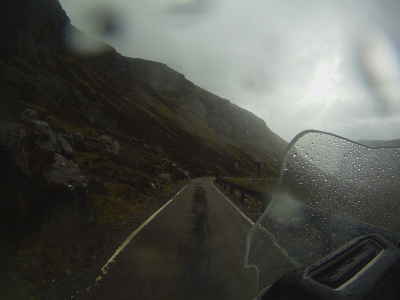
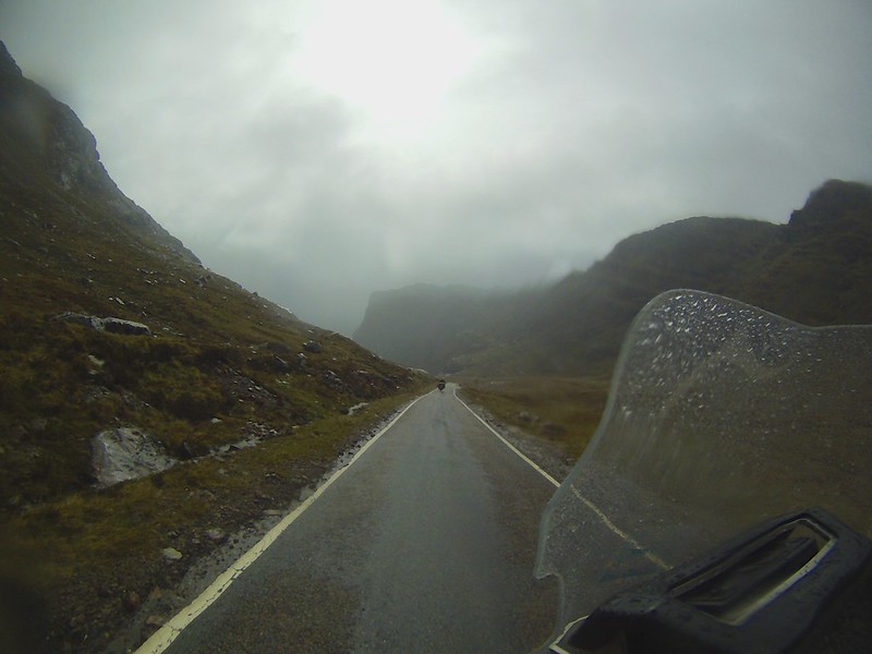
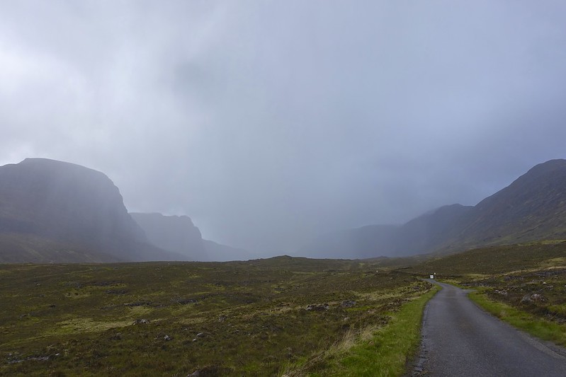
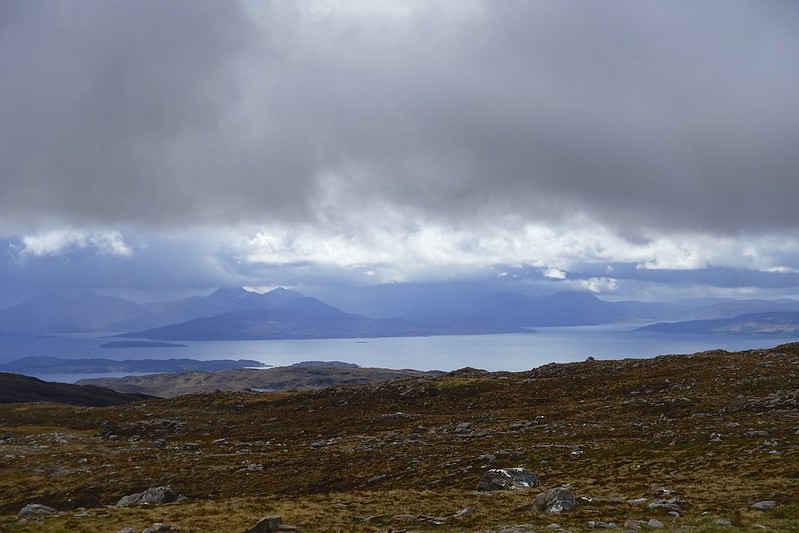
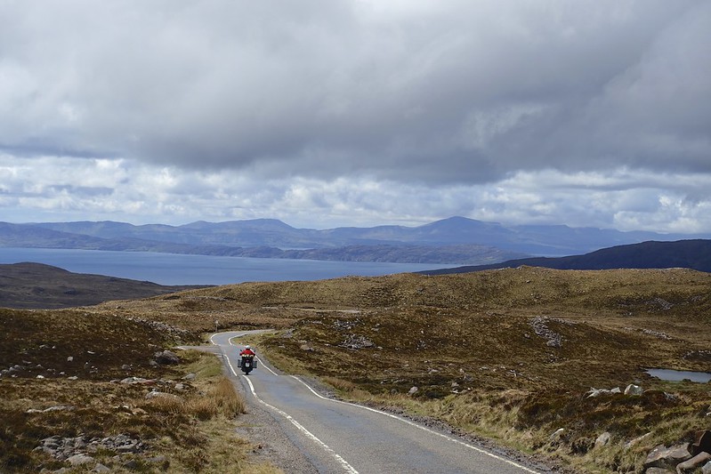
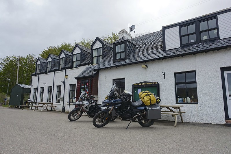
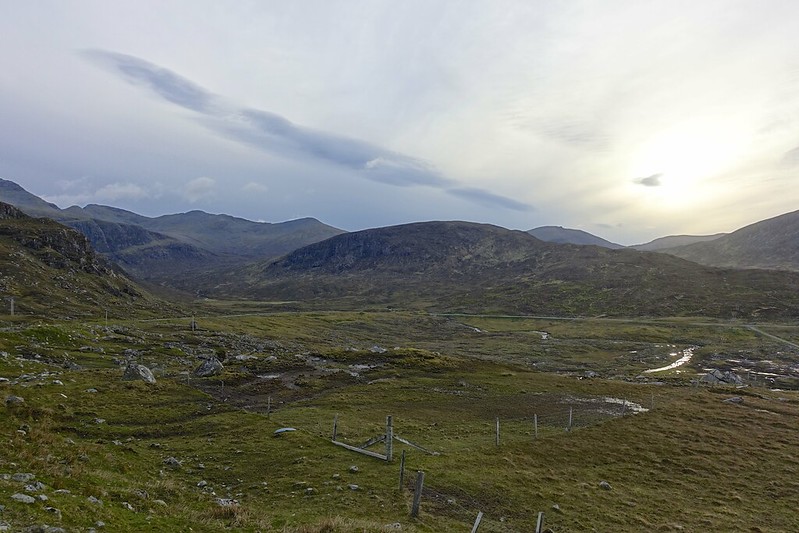
The road lived up to our expectations, which were high since everyone who we have met in Scotland has said “ you have to go to Applecross”! Again despite the bad weather it was awesome. We got a break in the deluge for a few photos on the way up. At the top of the pass for the steepest switchbacks it was only 2 degrees.
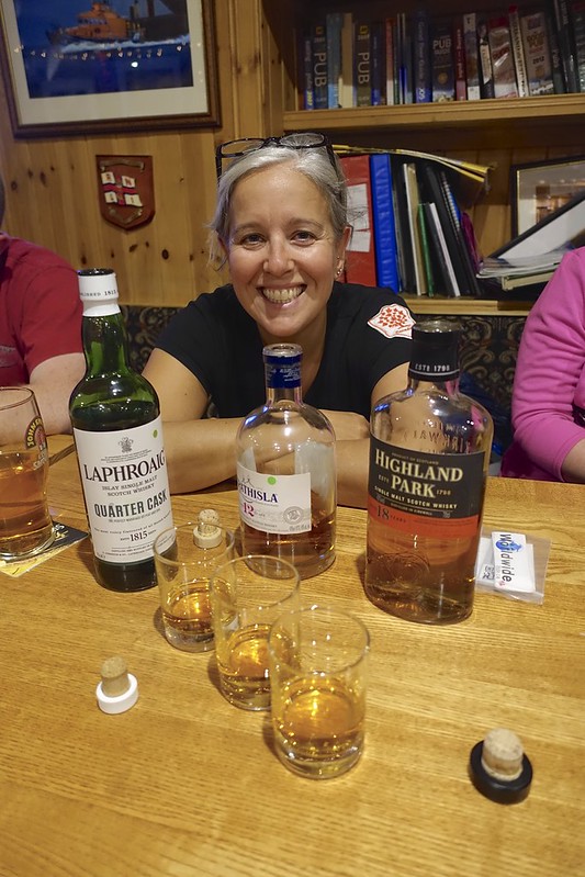
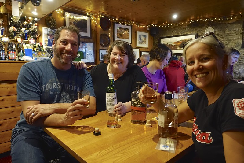
We had been “introduced” by Gino to the owner of the Inn and Pub one “Judy Fish”. The cold raining weather was for us not for camping. She was kind enough to find us a room in the FULLY BOOKED hotel and buy us some drinks. The food here is very good. We had a nice dinner with fellow UK travelers Andrew and Jennifer who great company!
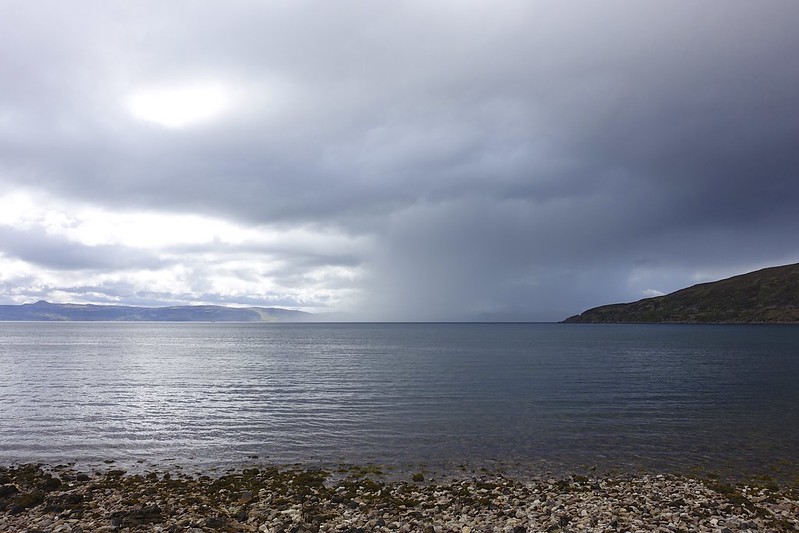
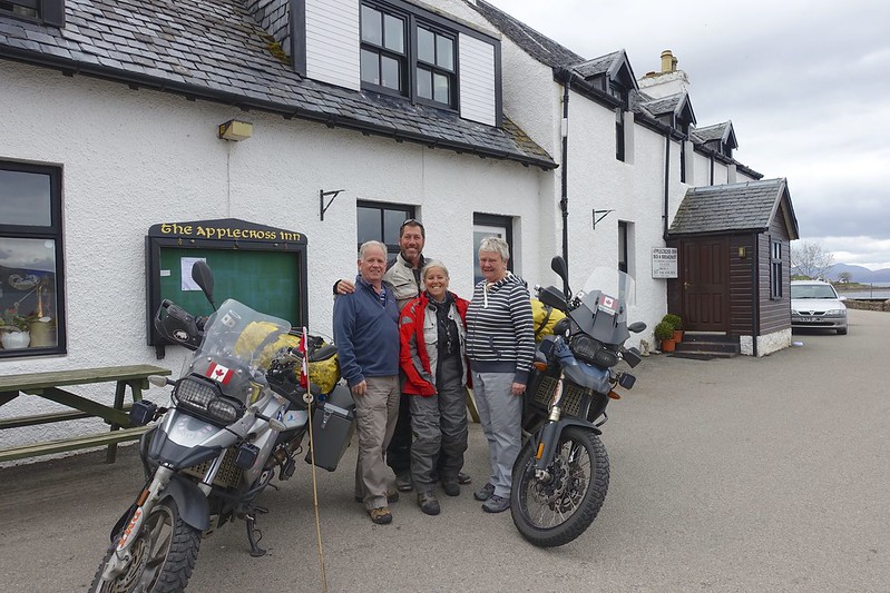
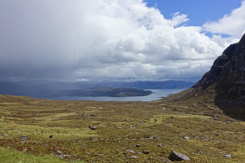
Leaving the next day in the rain there was a steady stream of bikers heading up the pass for their Saturday rides.
Today we will ride to the ferry dock for the boat to the outer Hebridies at Uig on the Isle of Skye.

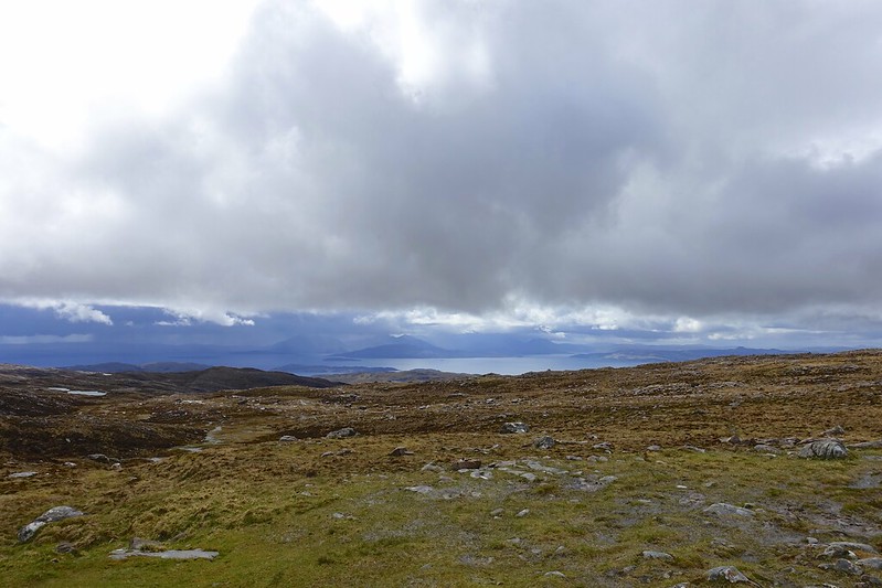
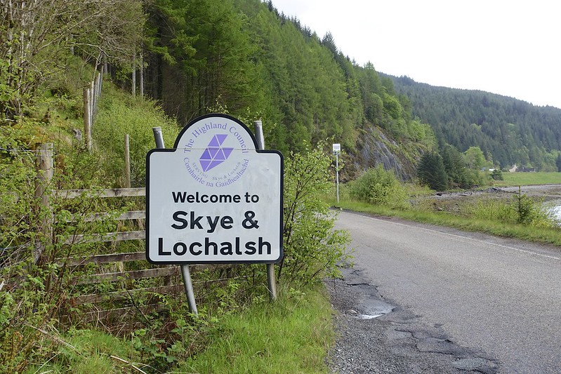
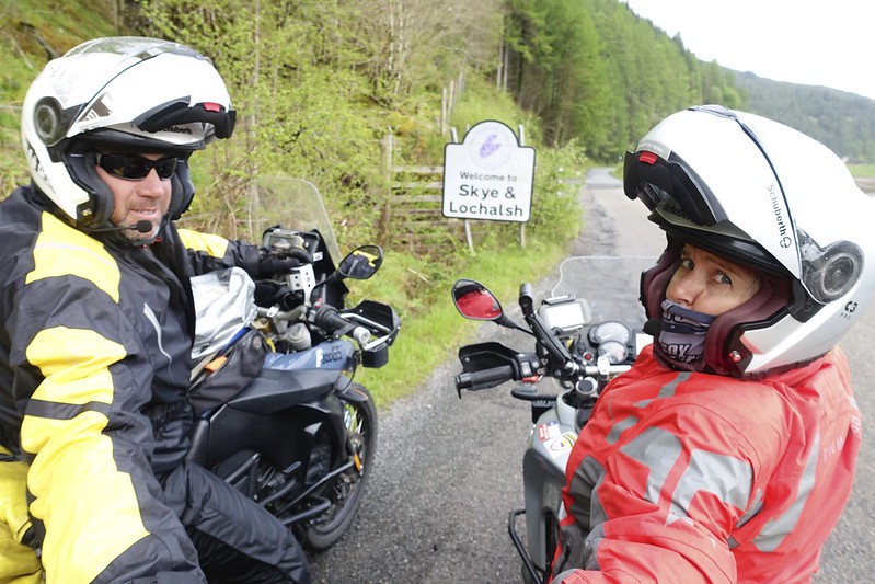
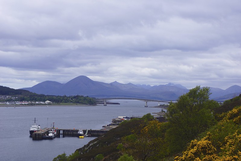
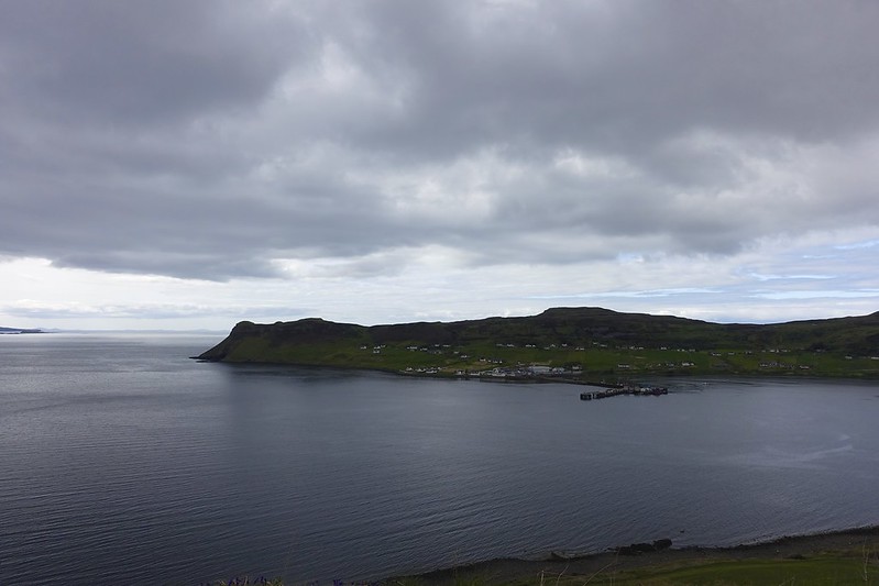
We had a wet morning, but things improved by the time we got to the “Skye Bridge” to the Island of Skye.
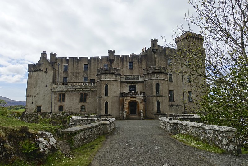
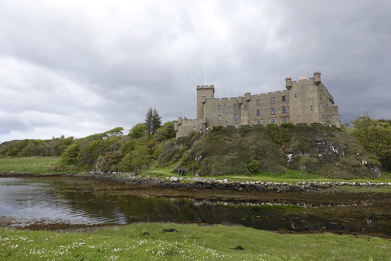
On the island we did a few side trips up dead end roads to see what was there and then we stopped at Dunvegan Castle. This is the seat of the Macleod of the Macleod, Chief of the Clan Macleod.

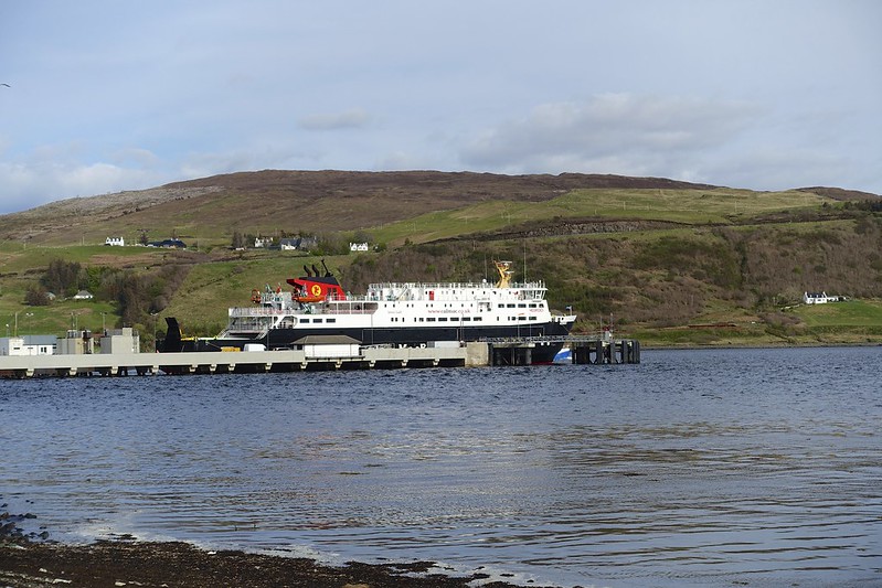
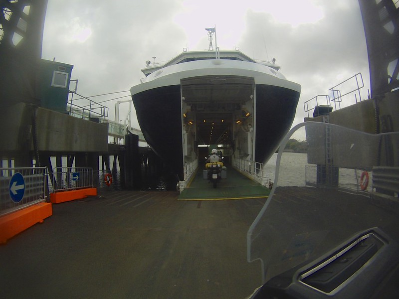
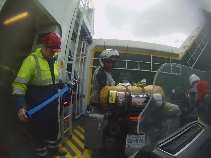
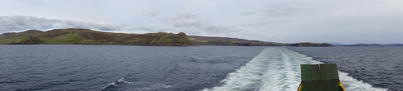
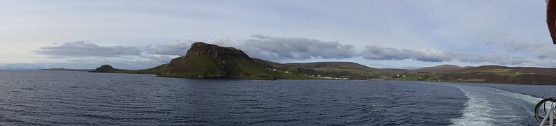
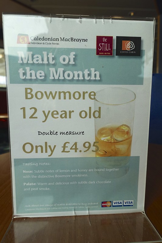
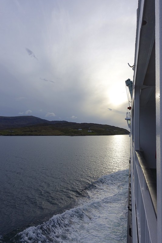
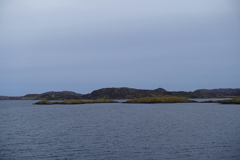
We were headed to get the 6 pm ferry to the Outer Hebridian Island of Harris.

We just rode up at 4 pm and luckily it was easy at this time of year to just do this and still get on. The boat was late of course and so we arrived to the port of Tarbert after 830 pm.


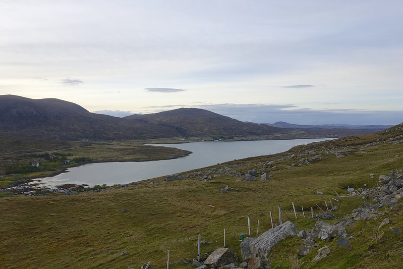
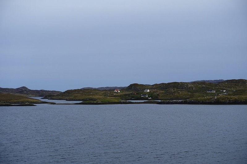
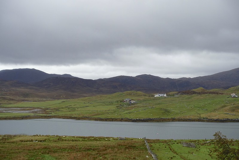
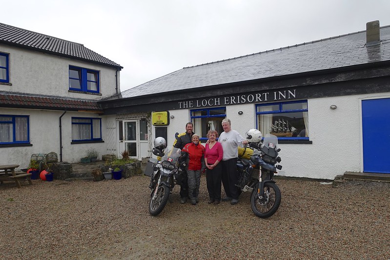
Judy in Applecross had pointed us in the direction of her ex’s inn in Ballalan 17 miles north of the port. Here again we were shown great hospitality and given a room in the again booked hotel. The sun was still hovering at the horizon at midnight.
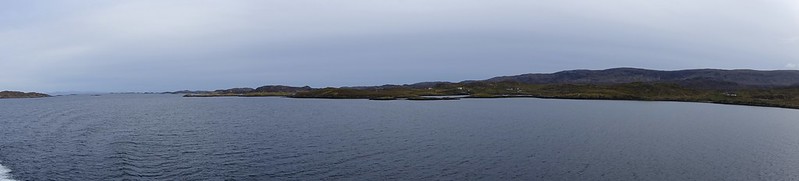
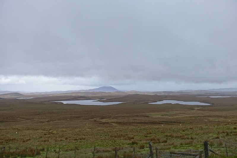
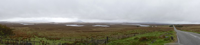
Harris and Lewis are called two islands, but are really only separated by a stream. The southern Harris is more treed and hilly, while the north Lewis is flatter (read windier). Our goal today was to see the standing stones, the north lands end, and still make the ferry at Stornaway.

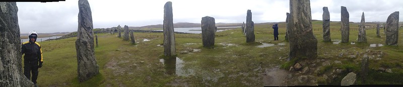
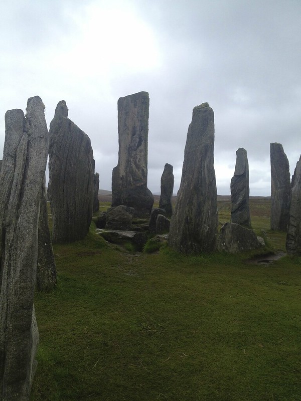
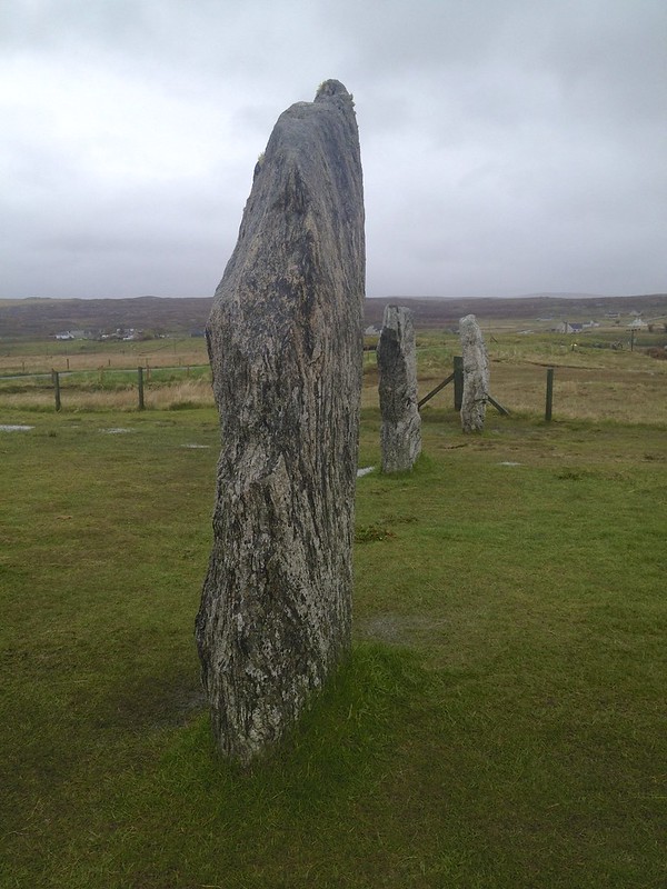
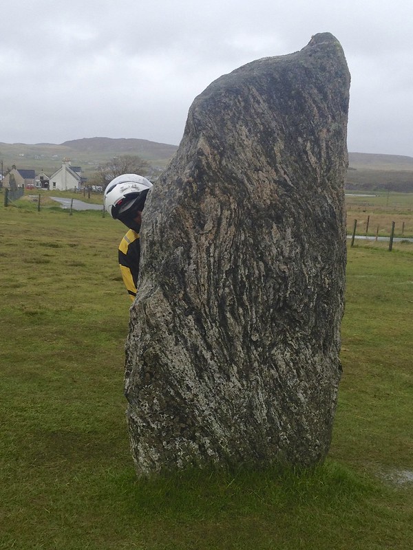
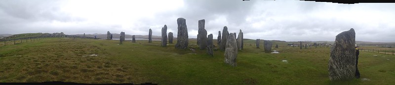
We set out in the gusting high wind and rain to see the Callanish standing stones. They date from 2600-2900 BC. The site consists of a central stone circle and several lines of radiating stones. The entry here is free unlike the 70 dollars they wanted at Stonehenge and this is a much nicer and more authentic site.


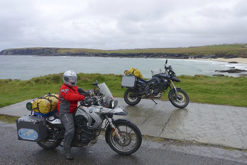
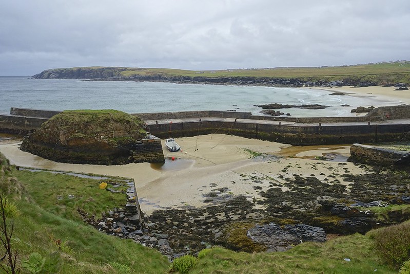
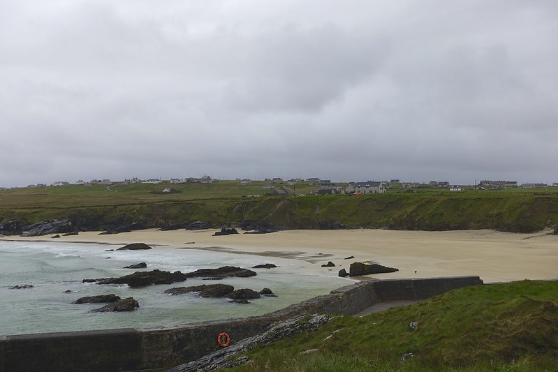
We then rode in very windy conditions up to the northern point of the Island of Lewis to the port of Ness. Here there is a white sand beach, which I can image is useful very few days a year here above the 58 th parallel.