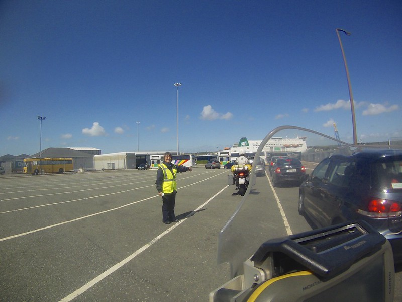
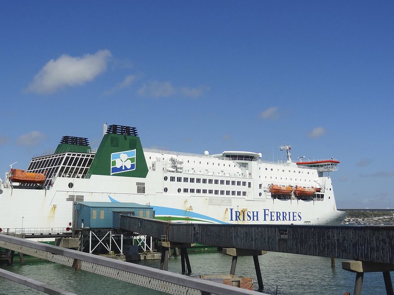
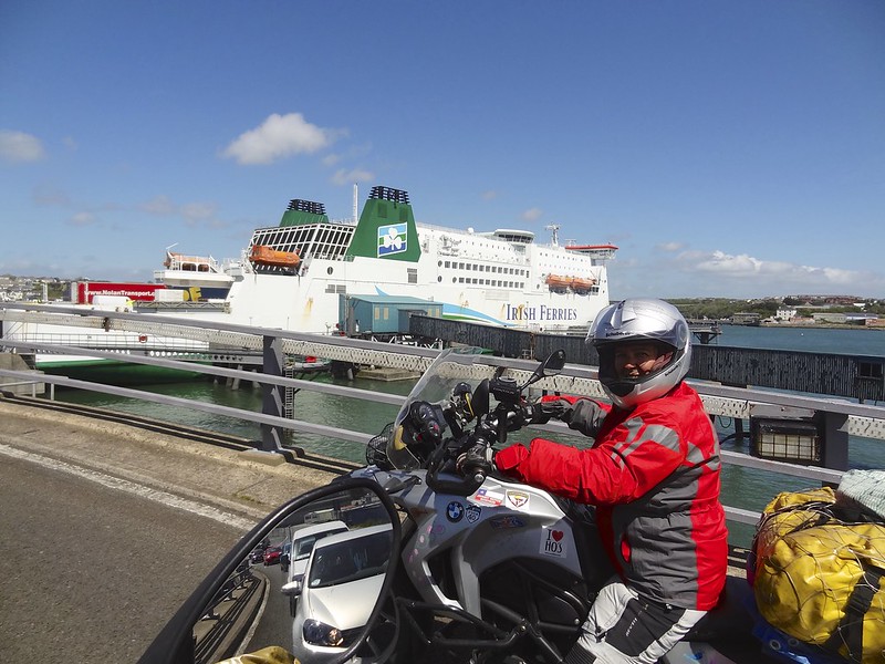
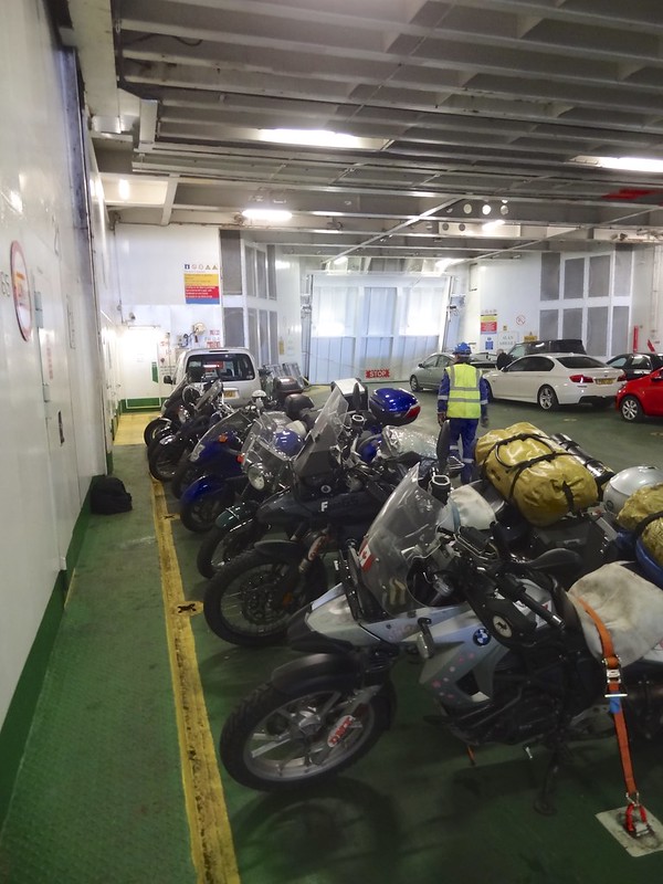
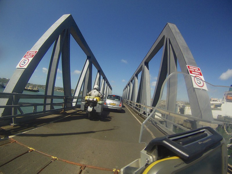
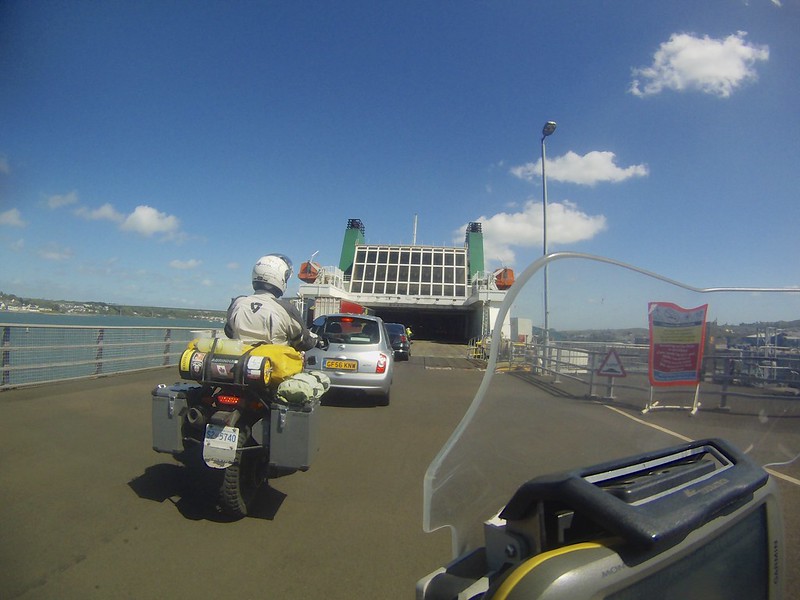
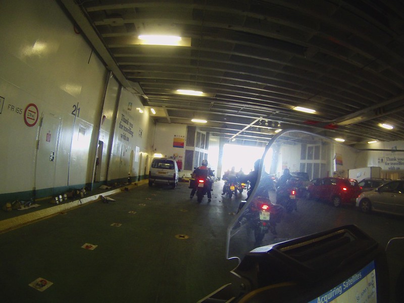
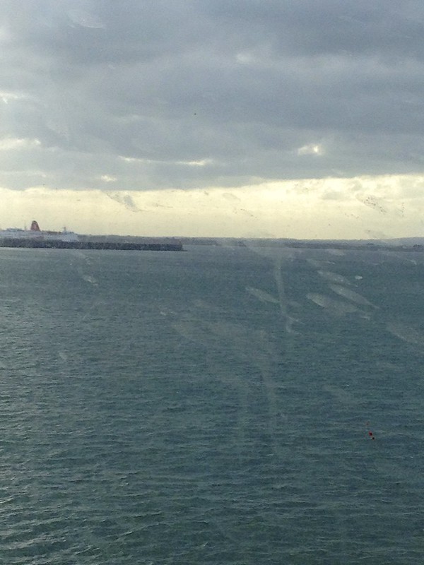
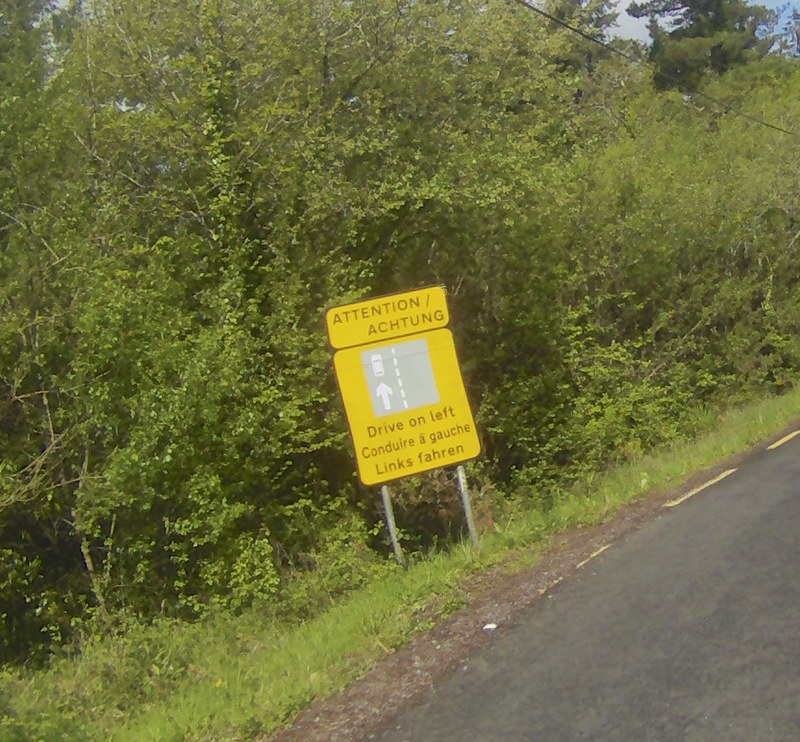
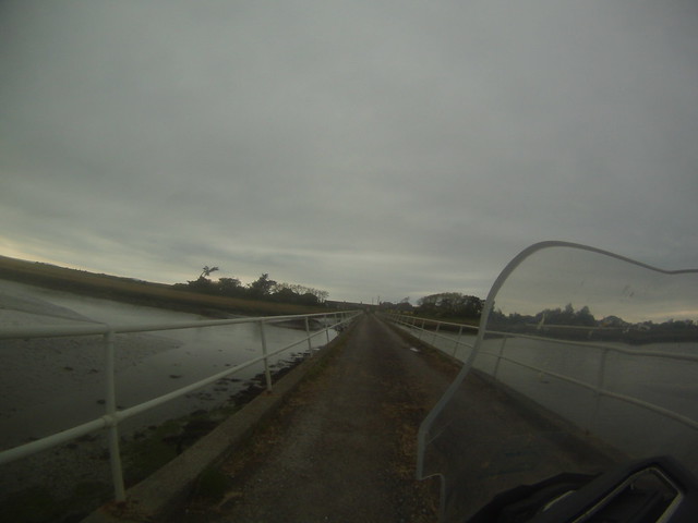
From here we made for the Ferry dock for Irish Ferries. You check in at the kiosk and get a boarding card. The UK police check your passport before you board. To get on the ferry you actually cross a bridge like ramp over the loading cargo trucks. The ferry attendants take care of the strapping of the bikes. This is a four-hour slightly rough crossing to Rosslare Ireland. We had booked into a hotel 20 km up the road and so we arrived in daylight.
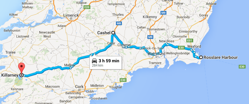
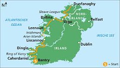
We are on a bit of a tight time line and so we are trying to squeeze as much of the island as we can into about 5 days. Today we are headed to Killarney in 284 Km.
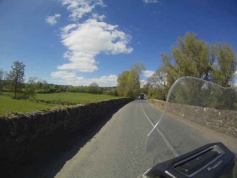
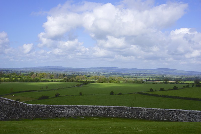
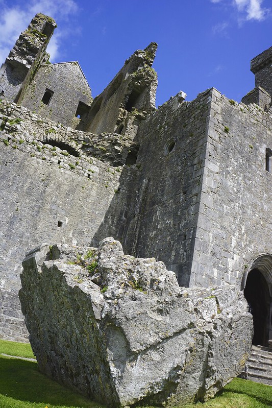
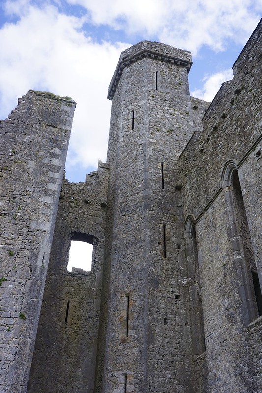
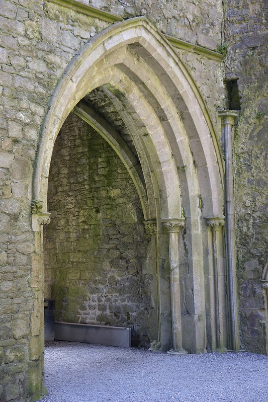
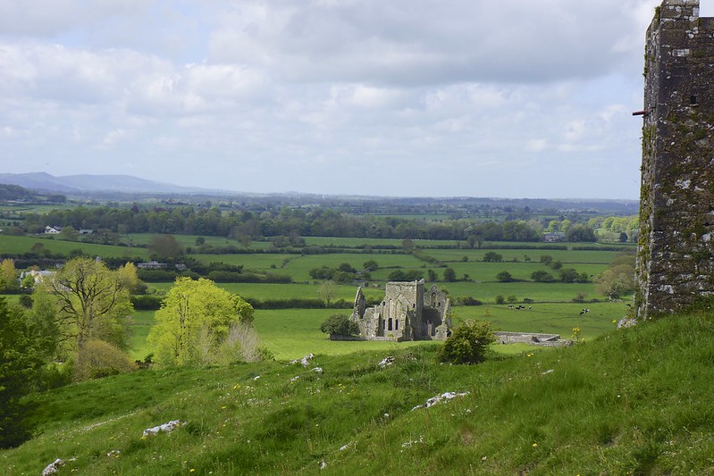
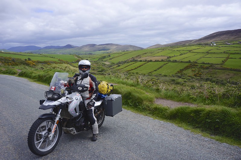
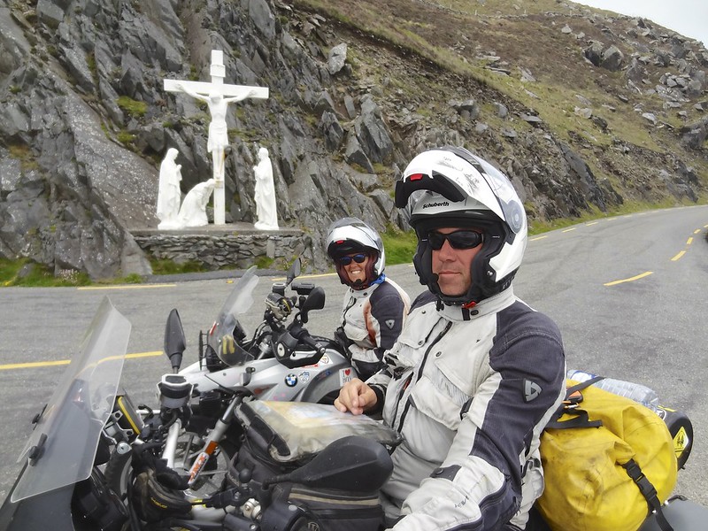
Riding here is much like Wales, it is desperately pretty and full of tiny single lane roads and good secondary roads. We did take the highway to get the 140 KM to Cashel so that we would have time to explore the ruins at the Rock of Cashel.
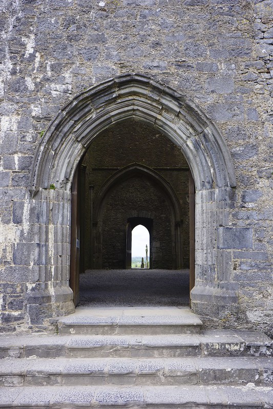
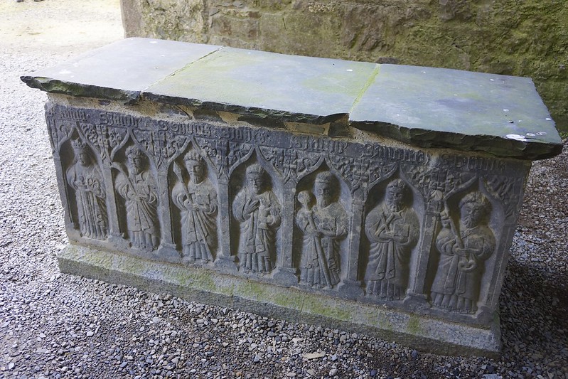
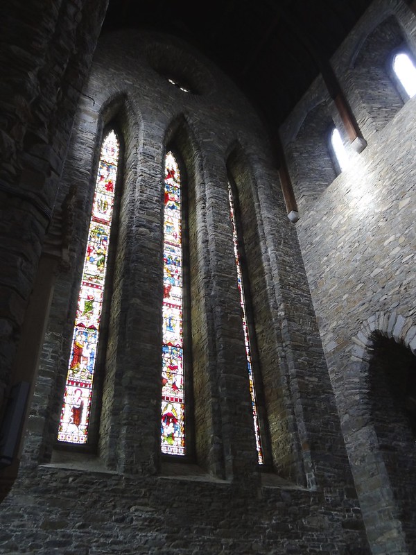
This 9 th century fortress was the home of the Kings of Munster, who ruled from the hilltop.
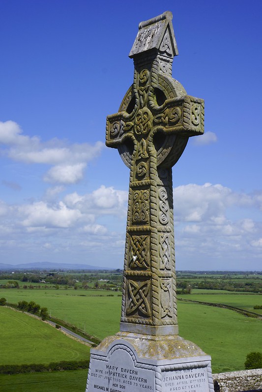
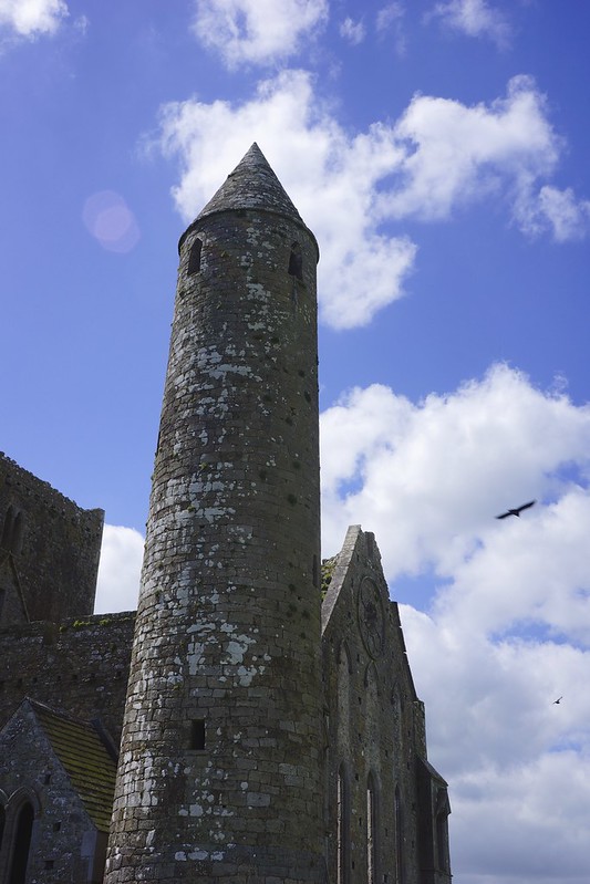
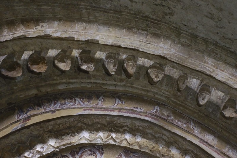
The site was donated to the church in 1101 at the time of the building of the “round tower”.
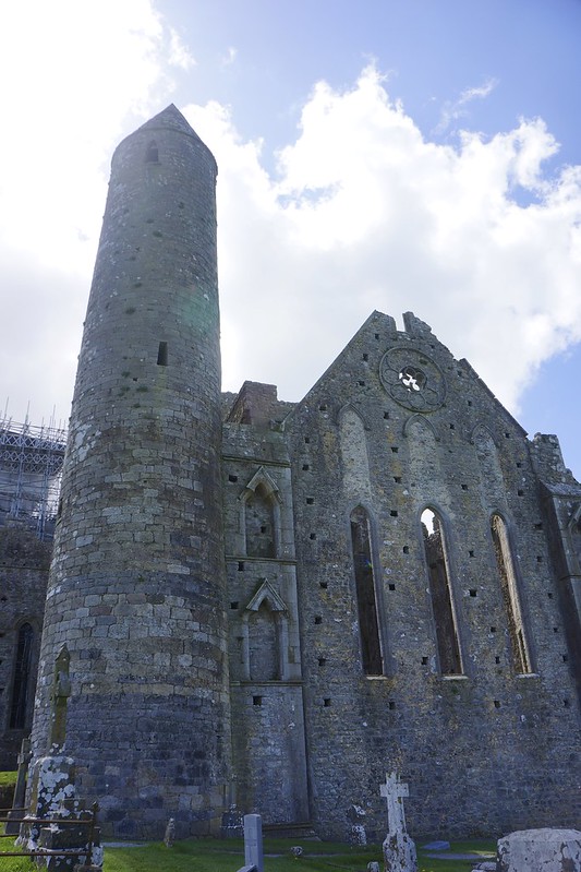
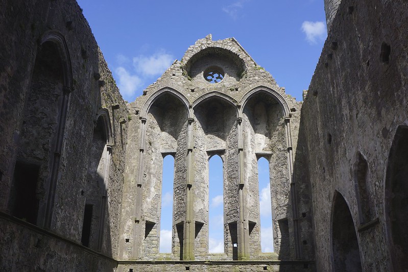
The larger ruined Cathedral was added in 1235.
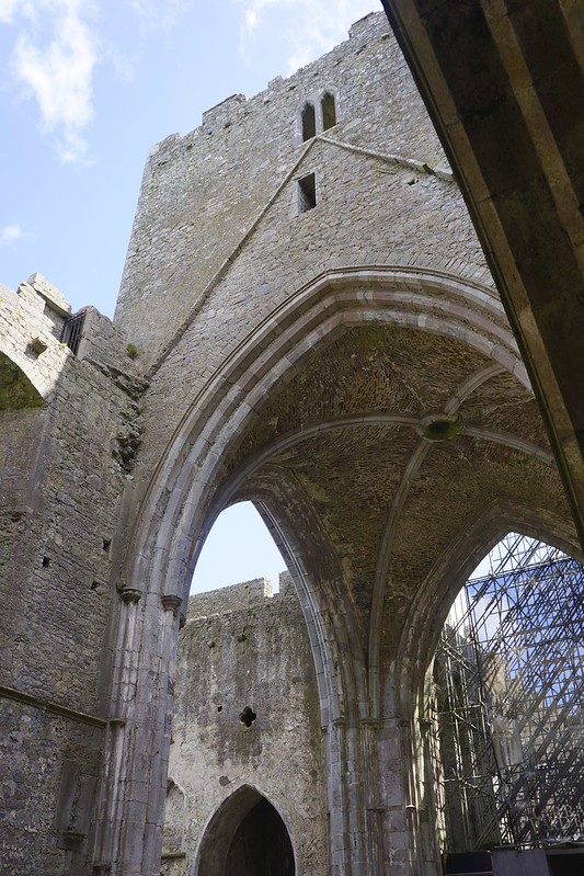

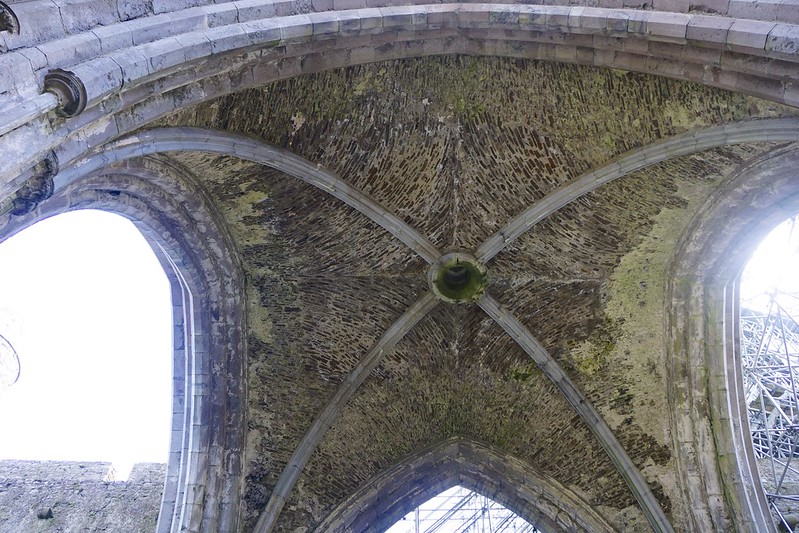
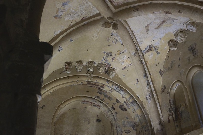
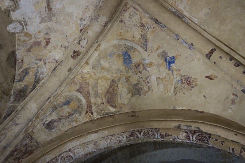
The 9 th century chapel has been sealed under a metal roof, while the stone roof has been removed, repaired and reinstalled. Thousands of years of rain were threatening its collapse. The drying out period has lasted 5 years. Prior to theis the chapel walls were black because the rock was so wet. The drying out has also revealed the frescos on the ceiling.
This was a center for teaching and many smaller abbeys like the ruins in the distance surrounded the rock.
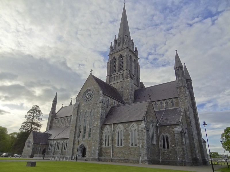
From here we continued west and south to the touristy town of Killarney.
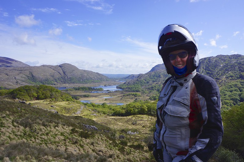
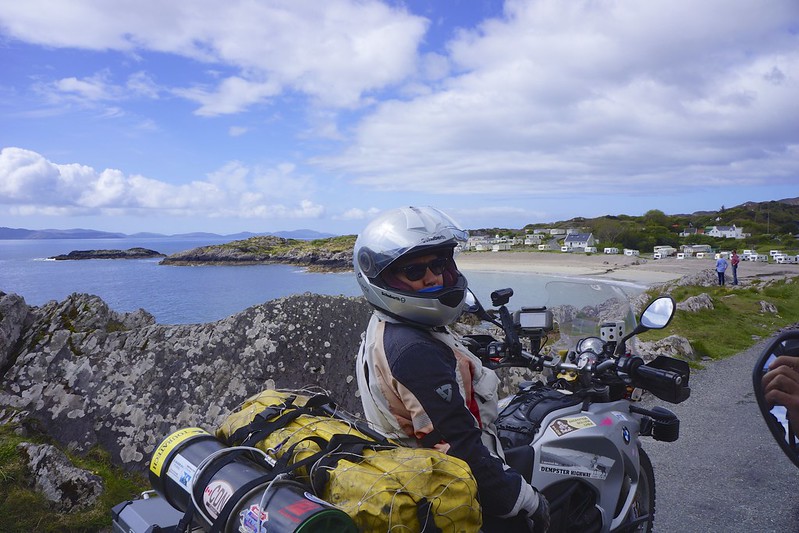
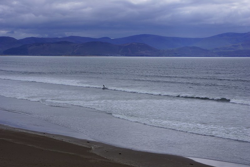
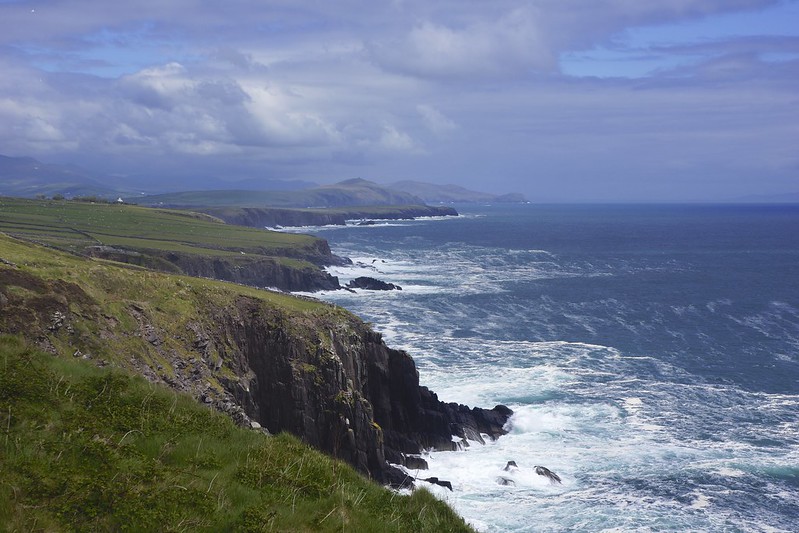
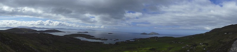
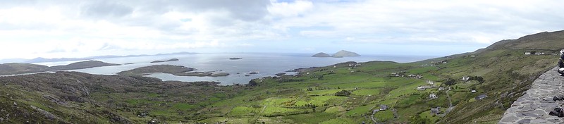
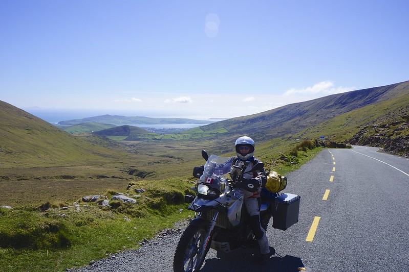
Killarney is the gateway to the 179 km Ring of Kerry and the Dingle Penninsula. The coastal sections of these routes are part of the wild Atlantic way, which is a 2500 km scenic driving route.
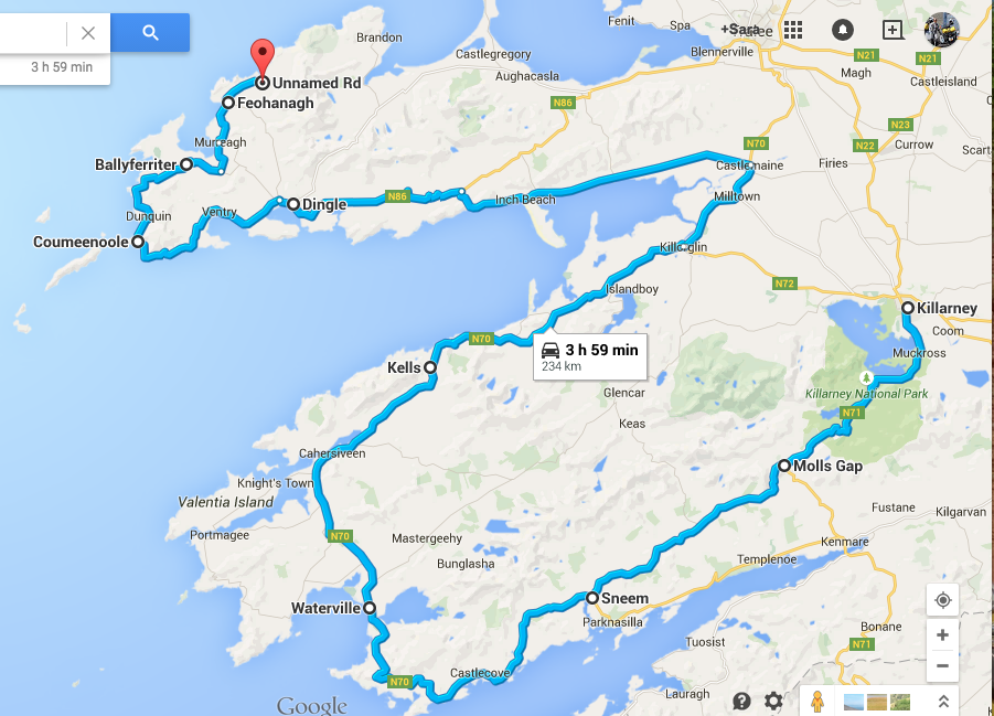
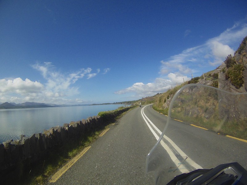
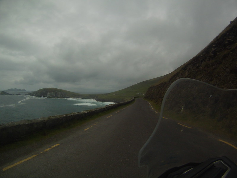
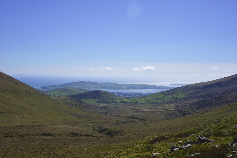
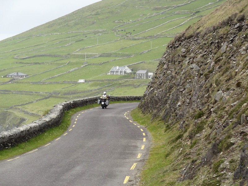
Leaving from town you head up over the mountains on a narrow road, which is dangerous because of the non UK drivers who tend to panic in corners and head to your side of the road! This leads you to the “ladies view”.
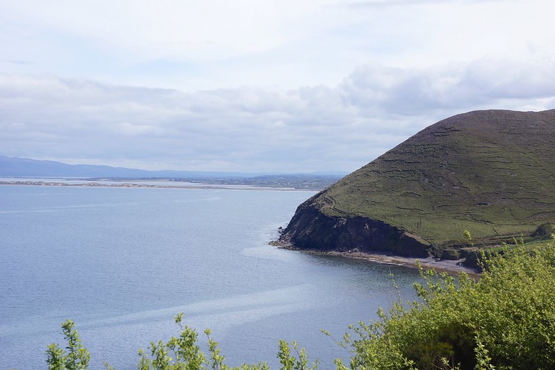
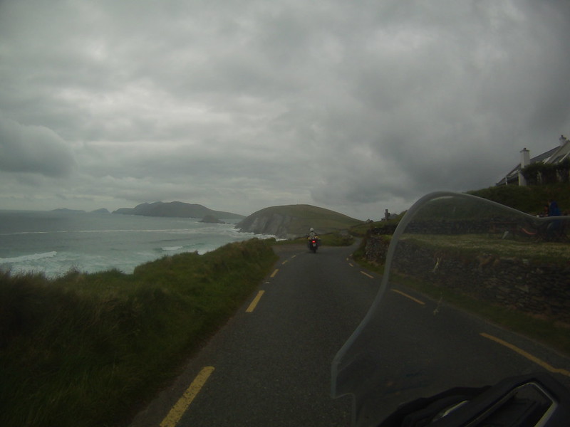
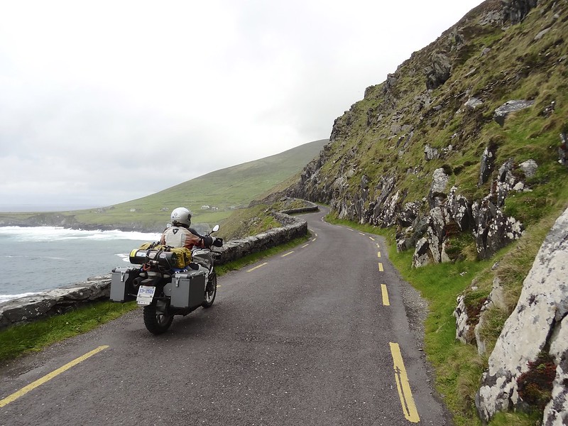
Once you hit the ocean you hug the shore most of the way.
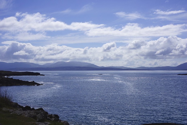
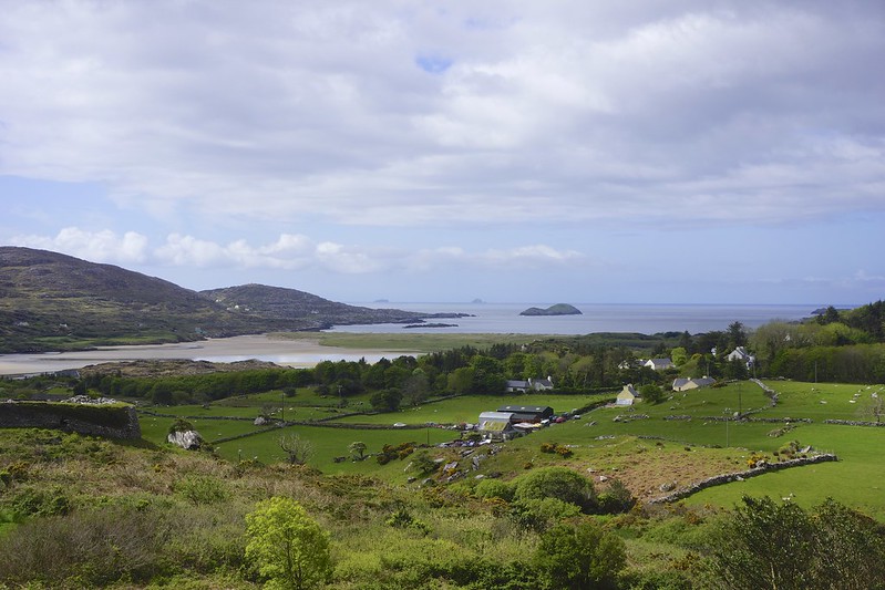
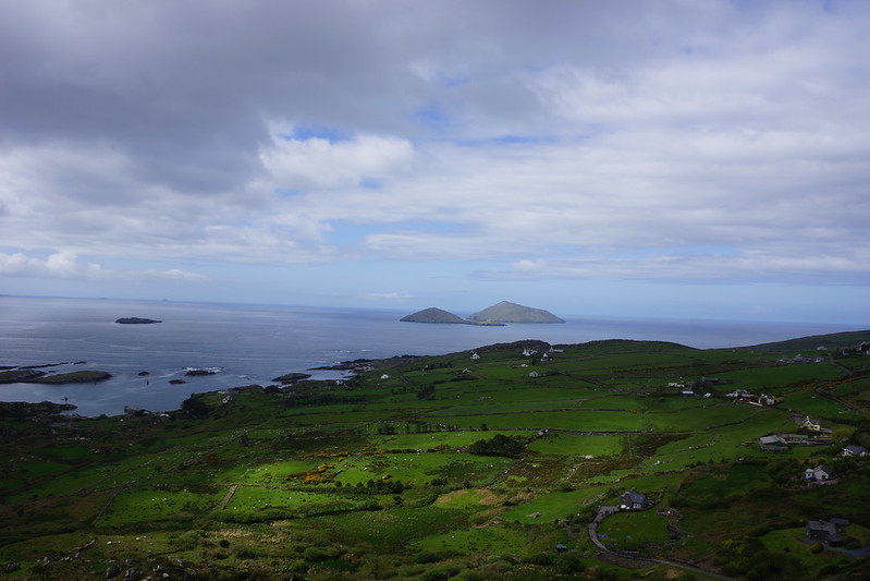

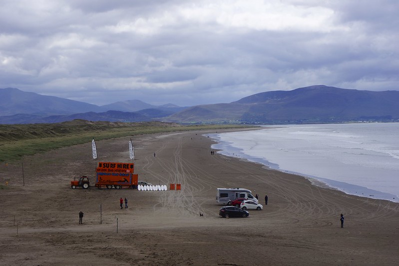
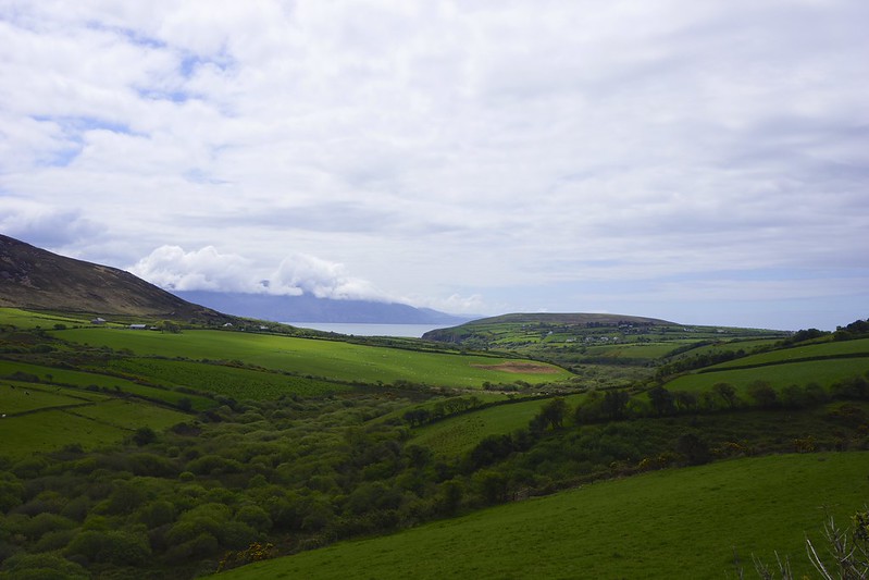
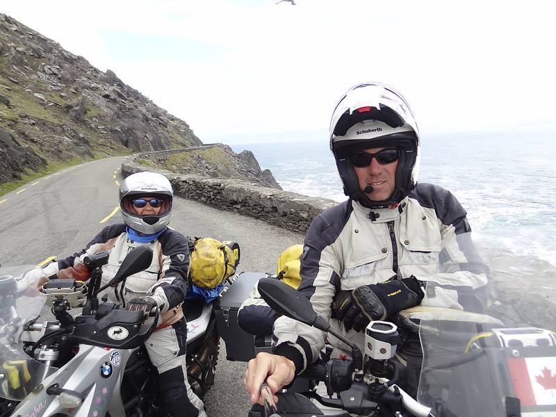
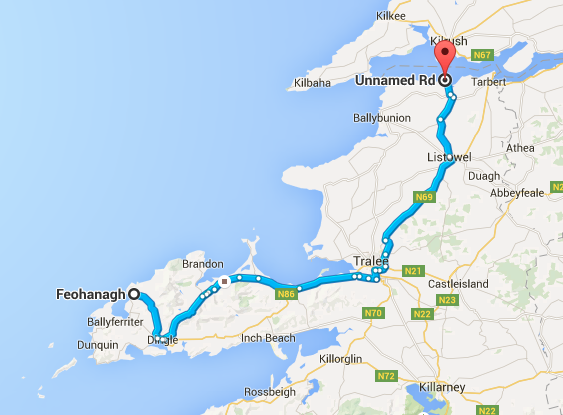
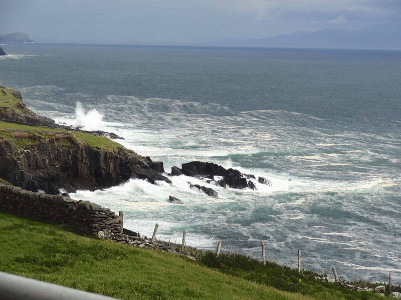
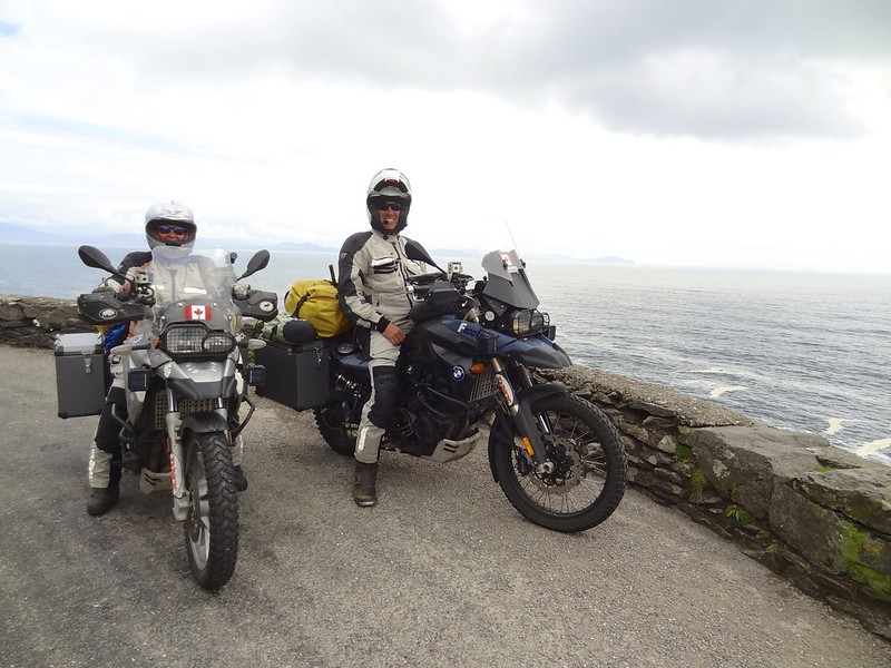
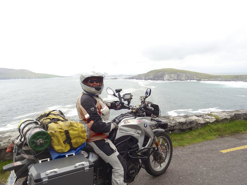
Then we started on the Dingle peninsula and the Slea Head circle drive, which ends at Ireland’s most western point at Dunmore Head.
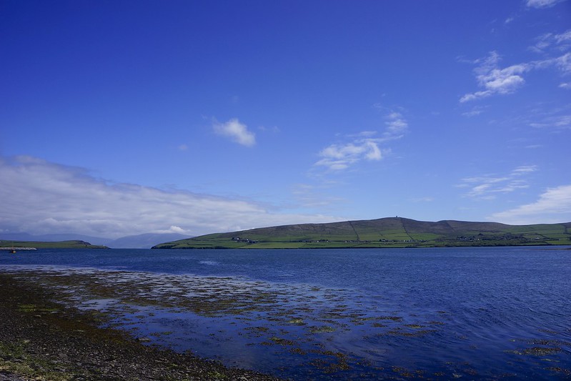
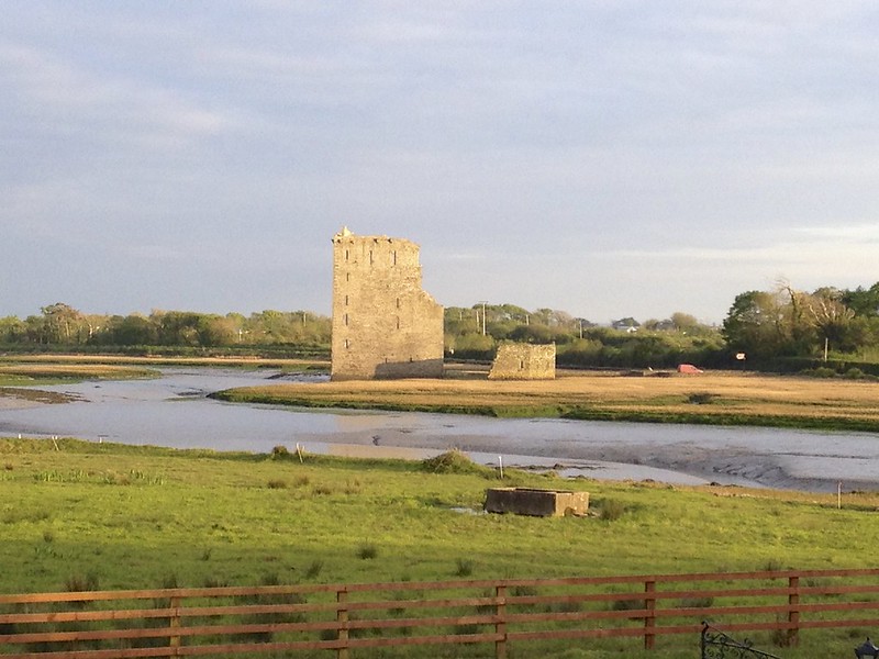
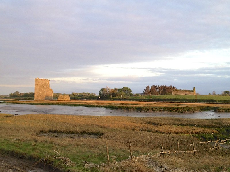
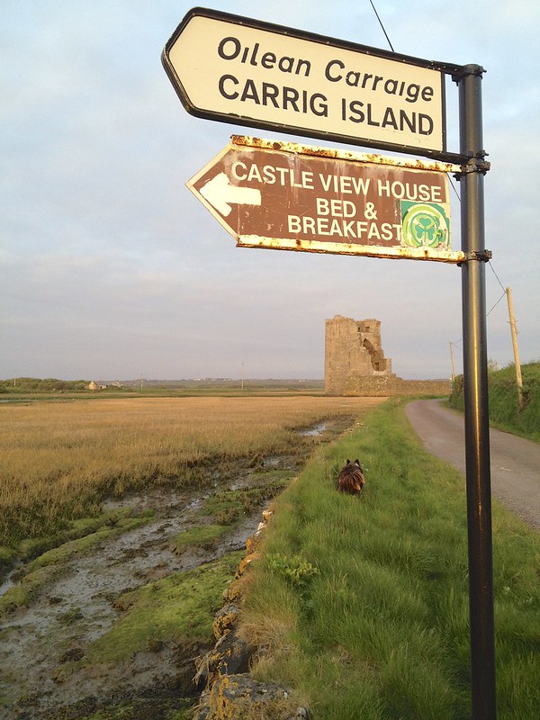
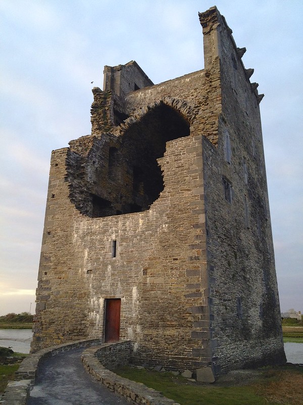
The route for us ended today near the village of Tarbert on the shore of the Shannon River. Here we booked into a B&B on an island in the river called Castle view and it did have a nice view of the Carrigafoyle Castle or tower house.
Great trip and old Ireland looks the same as my Anderson ancestors remember the place as they were packed on a leaky boat and sent to Canada.
How come no pictures of sheep / horses?
uncle Jim
Patience my friend 🙂
What beautiful country. I can’t imagine why you where in such a hurry to cover the ground and move on. The history with the old cathedrals and castles. You must be on overload.
Enjoy for the rest of us—savor the experience and when you are our age you will have some wonderful memories to reflect on as you are rocking on your front porch looking at the desert in Kamloops. xo
Yes there was a lot to see, but we had to make the ferry for the 16 th of June so we had to keep a tight schedule. We were on castle overload by the time we hit Scotland. Sara